
Drone Photography Portfolio
Aerial photography for real estate, construction, and commercial properties in Thurston County, WA.
Professional Drone Photography — Lacey & Thurston County, WA
I’m Dan Olsen, an FAA Part 107 certified drone pilot based in Lacey, Washington. This gallery features aerial photography from locations across the South Puget Sound — community parks, natural landscapes, and properties captured in high resolution. Every image is professionally edited and ready for listings, marketing, or documentation.
Have a property that could benefit from aerial photography? I’d love to hear about your project.
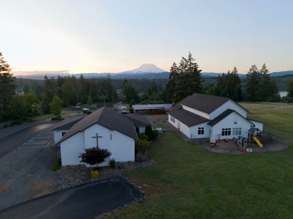
Church at Sunrise
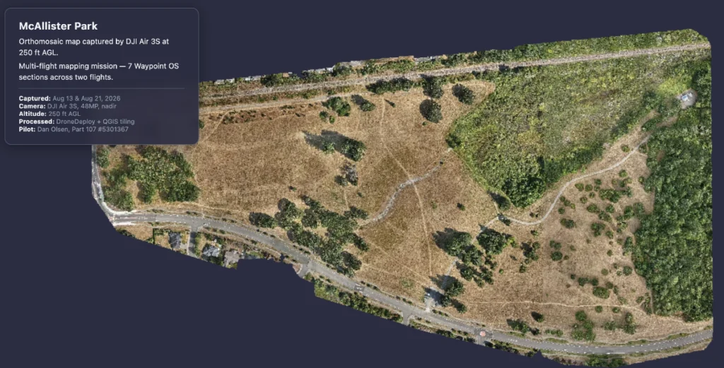
McAllister Community Park
Flying through the oak groves and exploring McAllister Community Park.
Interactive Web Maps
These interactive orthomosaic maps were captured by our DJI Air 3S and processed into a seamless, zoomable aerial view. Explore the full maps in detail — from tree canopy to trail paths.
Mt Rainier Sunrise Timelapse
Mount Rainier sunrise hyperlapse. Shot at 4:44 AM — 29 minutes before sunrise. Tanwax Country Chapel, Eatonville, WA. DJI Air 3S.
McAllister Community Park — 360° Aerial Panorama
Captured at 300 feet above McAllister Park in Lacey, Washington, this interactive 360° panorama was stitched from 33 individual drone photos using free, open-source tools. Drag to look around, scroll to zoom, and click fullscreen for the full immersive view.
Shot with a DJI Air 3S in RAW sphere mode, processed with Panovolo (stitching), Pixelmator Pro (post-processing), and Pannellum (web viewer) — total software cost: $80.
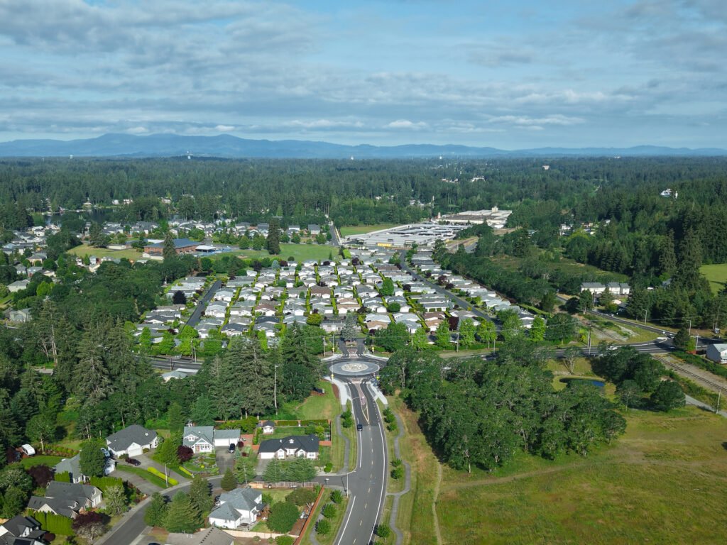
Aerial Photography Samples
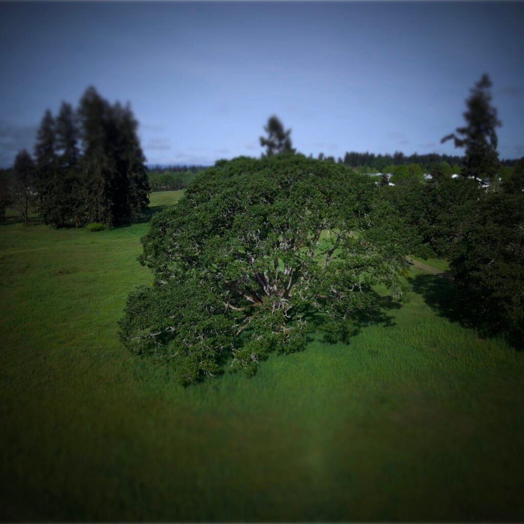
My Favorite Oak
Beautiful Garry oak (Quercus garryana) at McAllister Community Park! Experimenting with a tilt-shift filter to make it look small.
About the Pilot
Dan Olsen is a FAA Part 107 Certified Remote Pilot based in Lacey, Washington. With 30 years of arborist experience and a background in photo and video editing, Dan brings a unique eye for composition, terrain, and natural light to aerial photography.
Focus 56 serves real estate agents, builders, and property owners across Thurston County and the South Puget Sound region. Fully insured through SkyWatch on-demand drone coverage.
Key facts:
- 📍 Based in Lacey, WA
- ✈️ FAA Part 107 Certified Remote Pilot
- 🛡️ Fully insured
- 🚁 DJI Air 3S — professional-grade aerial platform
- 🎬 Apple Creator Studio for post-production
Want Aerial Content for Your Listing?
I’m currently offering complimentary drone photography shoots for real estate listings in the Thurston County area. You get professional aerial photos and video for your marketing — I get samples for my portfolio. No cost, no obligation.
Email: info@focus-56.com